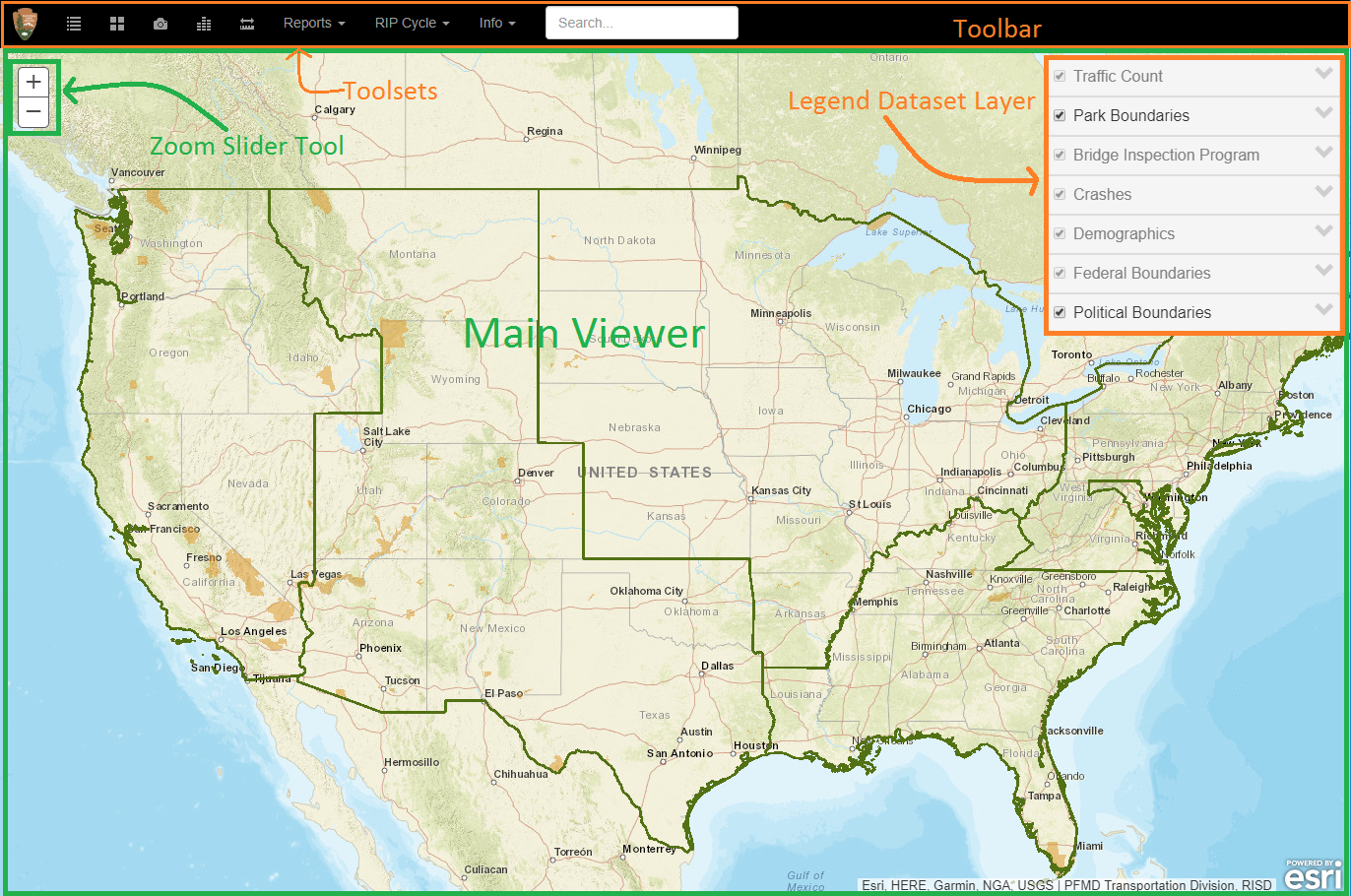
Navigator is a web map application intended to provide transportation planners and related officials in the NPS, DOI, and DOT with a suite of map overlays that depict NPS road infrastructure conditions along with contextual reference data (demographics, political boundaries, NPS regional boundaries, et al).
To start interacting with the map, use the Zoom Slider tool in the upper left-hand section of the Map window. Click on the Zoom In button or the Zoom Out button to adjust the scale of the map. To pan [move your view] click and drag using the mouse.
Layer Information can also be accessed through the floating legend panel at the top right corner of the screen. The legend allows you to view and select which dataset layers and sub-sets are visible in the main map viewer.
Note: On the main Menu bar there are links. The info>Contact drop-down selection will create a pop-up window that will provide an email and name for comments or help, if you need more information.
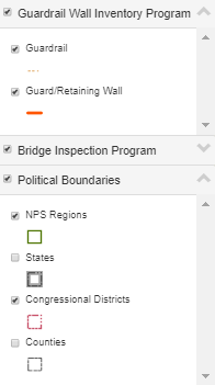
The legend panel menu provides options for the visualizations of the different Layer datasets
Many of the legend titles have drop-down menus to open additional datasets and/or sub-set layers each layer title.
Check out the legend panel drop-down menu (  )
to display additional features.
For example, the legend menu titles provide options for viewing the legend or turning off any or all of the sub-layers.
)
to display additional features.
For example, the legend menu titles provide options for viewing the legend or turning off any or all of the sub-layers.
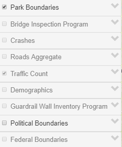
Use the legend panel data layer checkbox(s), to turn on/off individual visualization datasets and/or sub-set data layers as the user needs .